This is the biggest road trip I've ever been on as of 8/28/24. With 1,985 photos, the trip broke the record for "most photos I've taken in a trip", which lasted less than 24 hours before this trip.
This trip was my first time in Tennessee in around 8-9 years, and my first time in numerous counties along I-26 in SC/NC/TN. I also got lots of new milage in those 3 states. Also, coming in at just under 700 miles, the trip is to-this-day my longest trip ever in distance (and also time on the road).
Pre-Trip:
The trip itself was confirmed the moment I left my travel buddy's house on the 25th, unless I somehow ended up never returning to Virginia.
Before the trip happened, we originally planned on taking I-95 all the way to to I-64 in Richmond, then heading on I-64 to Charlottesville. It wasn’t until the morning of the trip that we decided to go through Tennessee.
The Trip - Part One
We left the house at about 10 AM, with me taking my first picture of the trip at 10:03 AM. We went around part of Fort Stewart, before leaving the base one last time and getting on the GA-38 Connector at 10:21 AM. At 10:24 AM, we reached US 84/GA-38, and turned left/east onto the routes. We passed the hotel, before stopping to get some gas for the long trip not long after.


I wouldn't take my next picture until 10:44 AM, about 5 minutes after leaving the gas station. That would also be when we passed GA-196 and continued east on US 84/GA-38. At 10:51 AM, we reached the intersection with US 17, and turned north. At 10:58 AM, we reached the US 17/GA-196 intersection, still continuing north on the US Route. We reached I-95 at 11:04 AM, merging onto the northbound lanes.


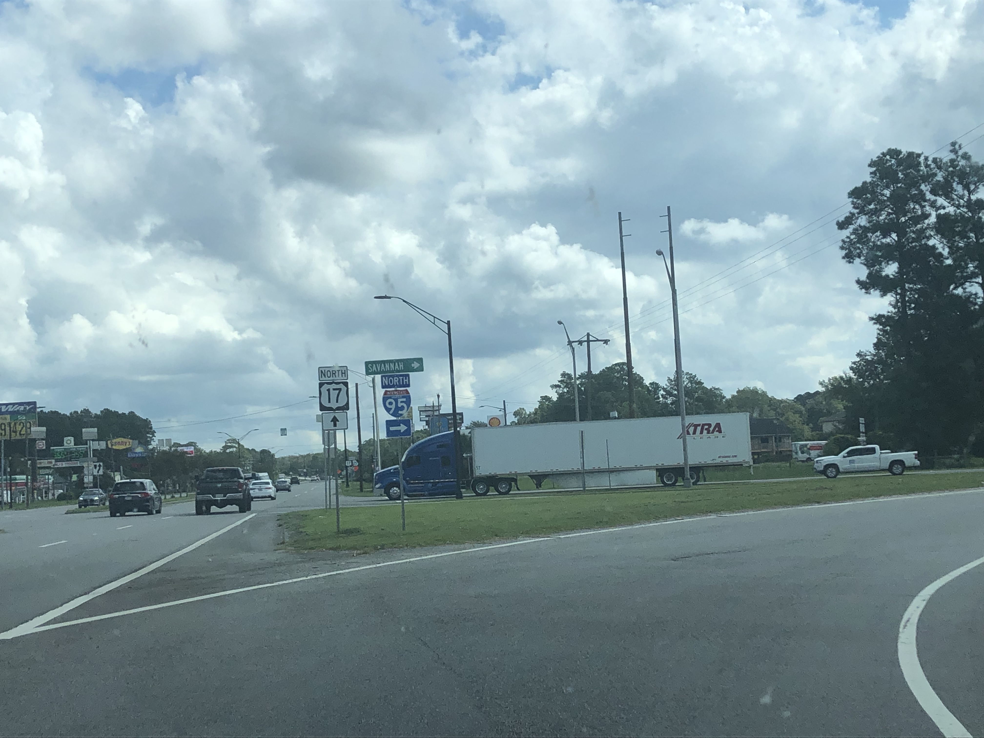
We would head north, with me not taking many pictures until we reached the I-16 interchange at 11:14 AM. We passed through the US 80 exit at 11:17 AM, continuing north on I-95 before eventually reaching the Savannah River at 11:25 AM. We crossed the river and entered the State of South Carolina, leaving Georgia for what is still my last time.


At 11:29 AM, we took the ramp to visit the Welcome Center. I got plenty of travel maps/books/brochures before we left at 11:53 AM. Three minutes later, we passed the US 278 exit and still continued north. At 12:08 PM, we passed the exit for US 17/Ridgeland a couple minutes after passing SC-336.


Eventually, I got to the end of the I-95/US 17 concurrency at Exit 33, which obviously, I stayed north on I-95. Shortly after this, I entered Hampton County and reached the SC-68 exit at 12:20 PM. Two minutes later, we crossed the Combahee River and entered Colleton County.


Right after entering the county, we passed the exit for US 21, still heading north on the interstate. At 12:27 PM, we passed the Rest Area, and at 12:32 PM, we passed Exit 53 for SC-63. Three minutes after this, we passed Exit 57 for SC-64, and of course continued north on I-95.


At 12:44 PM, we passed by the exit for SC-61, before entering Dorchester County as we crossed the Edisto River. Eventually, we crossed US 78/Exit 77 at 12:50 PM, followed by US 178 at 12:54 PM. We continued north on I-95 for three more minutes before reaching the I-26 interchange. There, we took the exit ramp onto West I-26 towards Columbia.
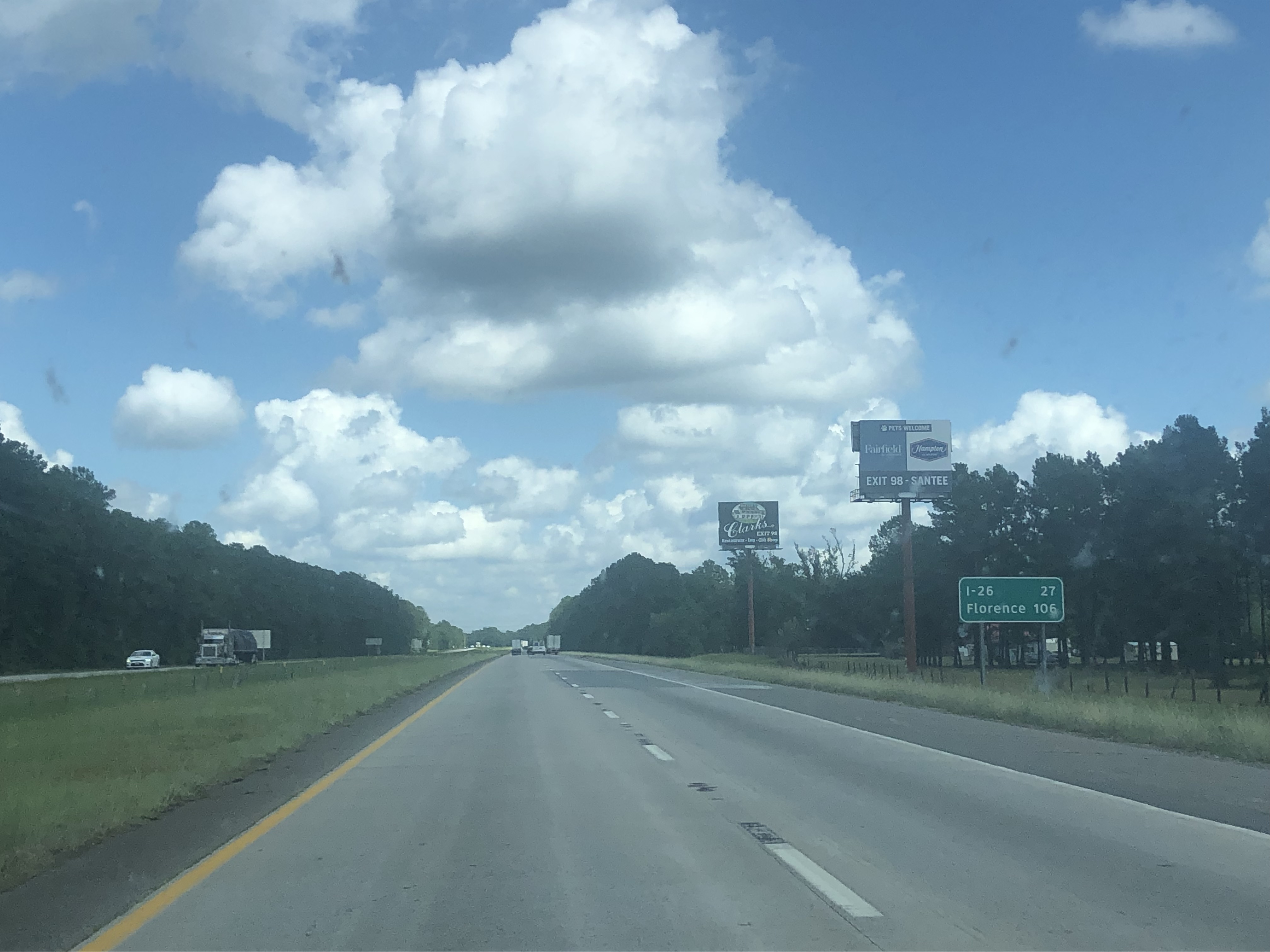


At 1:01 PM, we passed the SC-210 exit, before eventually passing through the US 301 interchange at 1:09 PM. A couple minutes later, we passed another Rest Area without stopping at it. We passed through the US 601 exit at 1:16 PM as we passed Orangeburg. At 1:28 PM, we finally entered Lexington County on I-26, before passing US 21 a minute later. Finally, at 1:34 PM, we saw another Rest Area and made a stop there.


The Trip - Part Two
We left the Rest Area at 2:03 PM, getting back on West I-26, still heading towards Columbia. At 2:05 PM, we passed through the US 21/US 176 exit, before reaching the interchange with I-77 at 2:08 PM. We continued west on I-26 from here, which was my first and currently only time on this part of the interstate.


At 2:10 PM, we passed SC-302, before crossing through the US 1 interchange two minutes after that. We then passed US 378 the next minute, followed by us passing through the interchange with I-126 at 2:15 PM. Right after that, we passed through the I-26/I-20 interchange, continuing (north)west on I-26 towards Spartanburg.


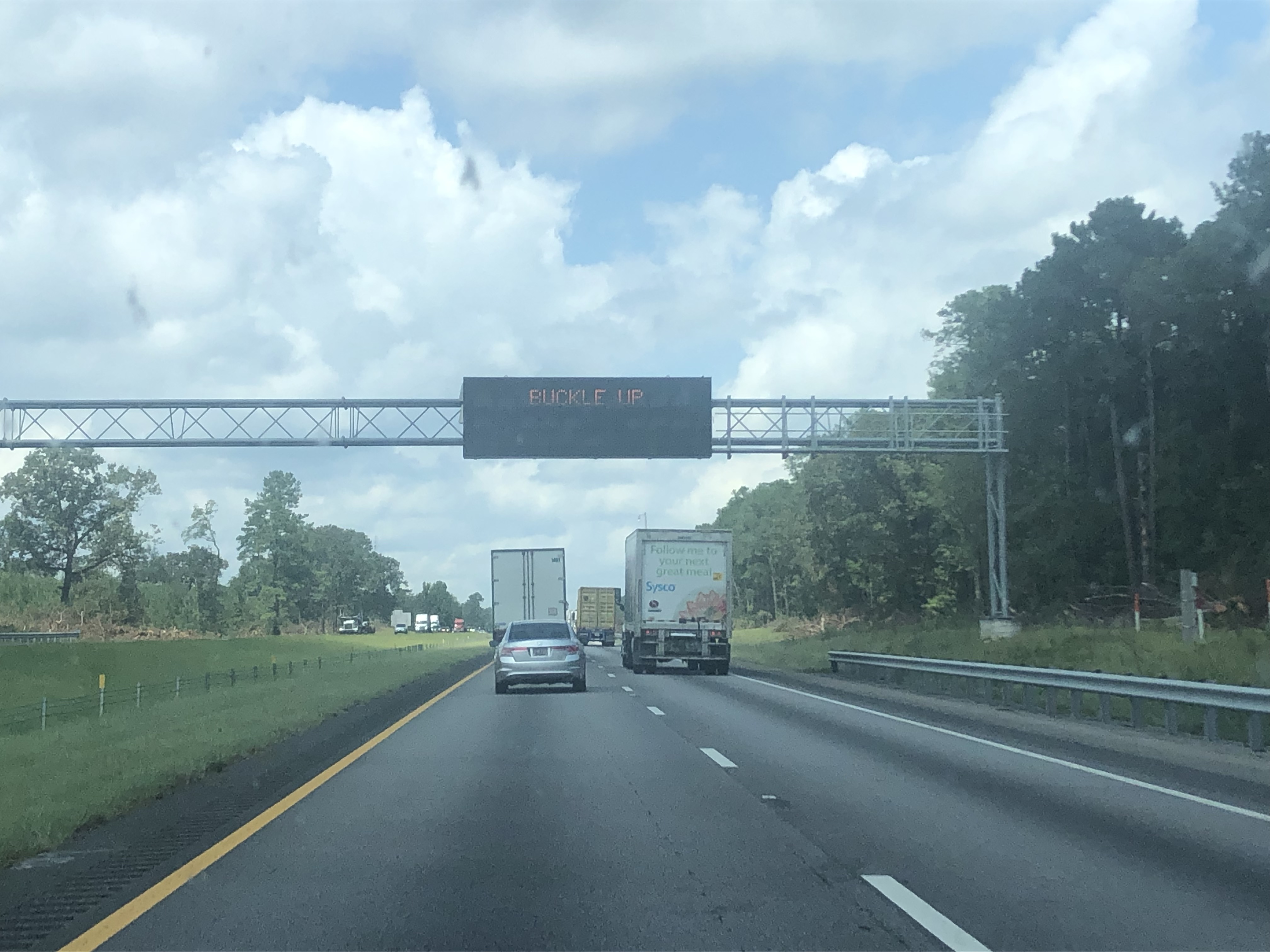
We went through the interchanges with US 76/US 176/SC-60 at 2:20 PM, before we reached a traffic jam at 2:22 PM. I got a picture of mile marker 100.0 at 2:25 PM as we passed it. The traffic jam cleared up as we passed through Exit 97, and we continued on West I-26.


At 2:45 PM, we finally got out of the massive I-26 road work northwest of Columbia, and we passed by SC-773 just a minute later. We passed Newberry at 2:51 PM after we passed SC-219, and at 3:01 PM, we passed another Rest Area. At 3:08 PM, we crossed SC-72, followed by SC-56 just after. At 3:10 PM, we reached the interchange with I-385, and we of course stayed on I-26. Soon after this, at 3:14 PM, we crossed the Enoree River into Spartanburg County.


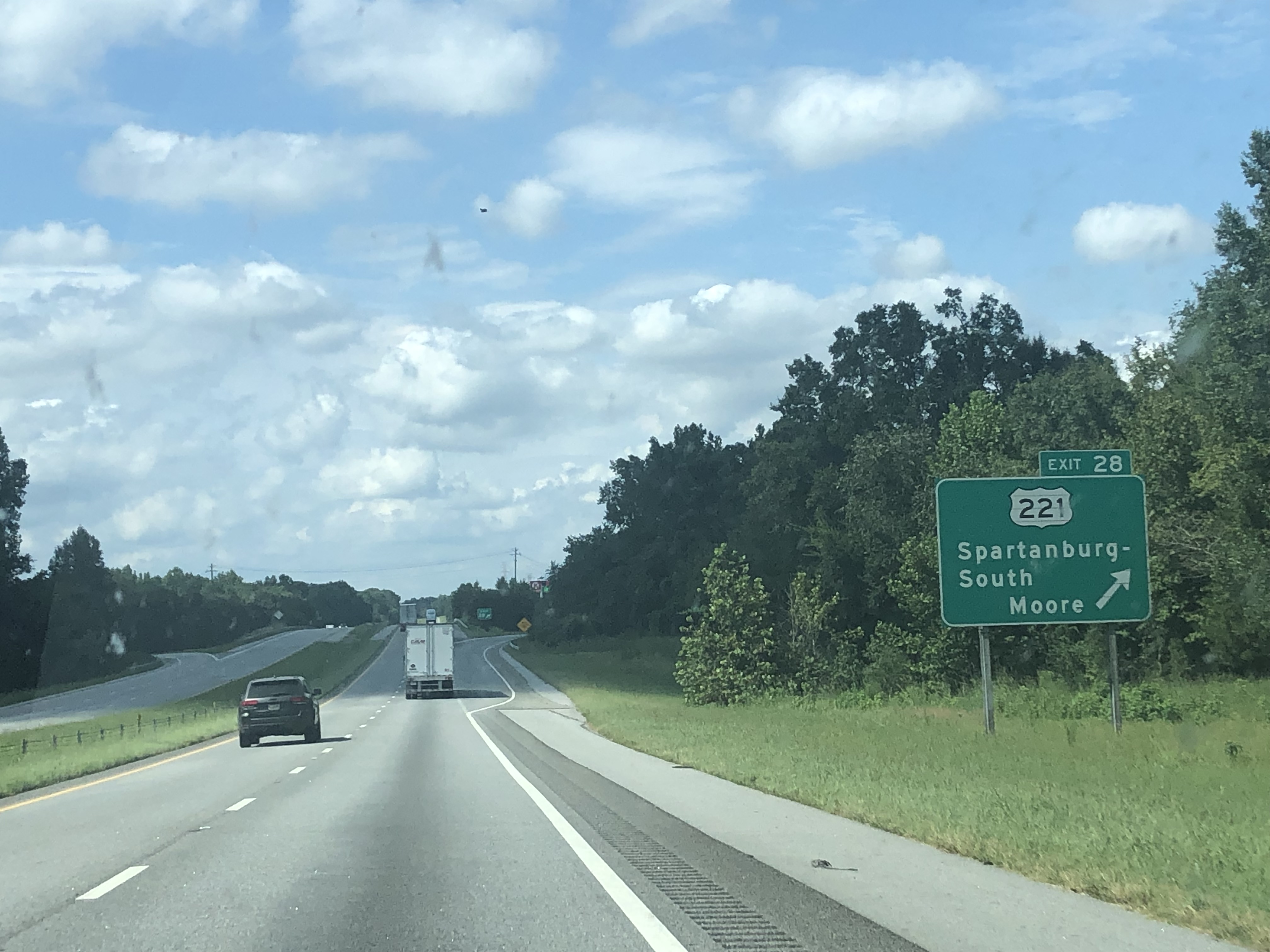
Two minutes later, we went through the SC-49 exit, heading northwest on I-26. At 3:18 PM, we passed through SC-92, followed by SC-146 at 3:20 PM. Eventually, at 3:28 PM, we went through US 221 as we approached Spartanburg. At 3:33 PM, we passed SC-296, right before reaching the US 29 interchange at 3:34 PM.


At 3:36 PM, we crossed I-85 Business, and almost immediately reached the I-85 Mainline interchange. We continued on I-26 towards the NC State Line, passing through the New Cut Road exit at 3:38 PM, right before seeing mountains for the first time since the 25th. At 3:40 PM, we passed through another US 176 exit, before reaching another construction zone. We went through the shoulder like everyone else, passing the SC-292 exit, and getting back on the real lanes shortly after.


At 3:53 PM, we approached the SC-11 exit, where I got a picture of the signs for the route, making my "lowest route number without a picture" go up from 11 to 19. From here, we continued going towards the mountains, passing through the SC-14 exit at 3:57 PM. After the exit, we went on a slight descent, before crossing into the State of North Carolina at 3:58 PM. After entering the state, we continued northwest on I-26 until taking the exit ramp to the Welcome Center at 4:03 PM.


The Trip - Part Three
We would leave the Welcome Center at 4:25 PM, before reaching the US 74 interchange a minute later. From here, we began to climb some mountains, passing Exit 59 at 4:33 PM. Just after this, we entered Henderson County, this would be my first time in the county.


At 4:35 PM, we entered the Green River Gorge, before crossing the Green River on the Peter Guice Memorial Bridge. At 4:38 PM, we passed by the South US 25 exit, just before crossing the Eastern Continental Divide.


At 4:41 PM, we approached Exit 49, which is the US 64 interchange. We made the decision to take the exit ramp onto East US 64 to stop at the local Chick-Fil-A to eat an early dinner. We reached the restaurant at about 4:45 PM after a quick stop at a gas station.


The Trip - Part Four


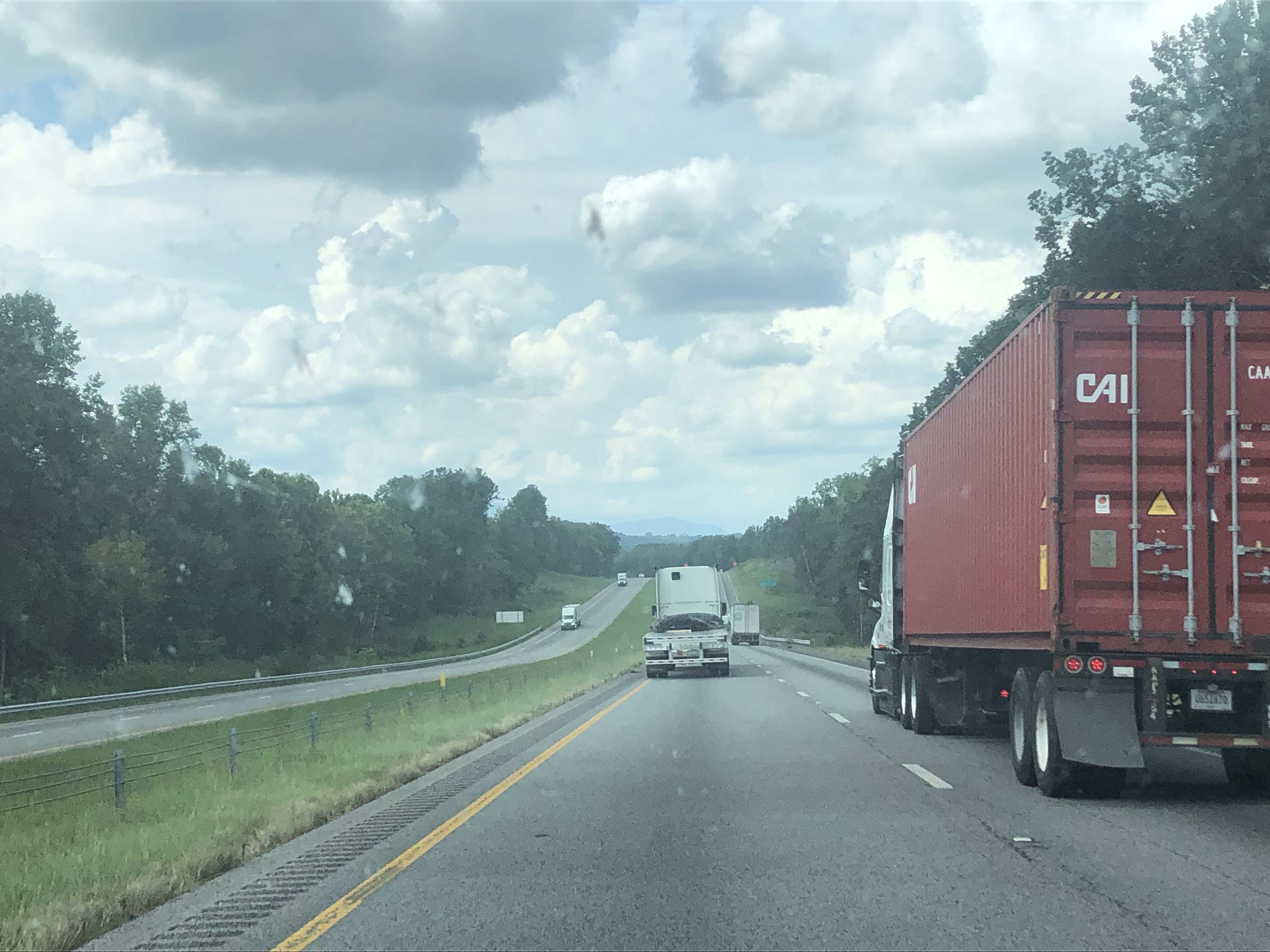
After almost an hour, we finally left Chick-Fil-A at 5:33 PM, where I took a picture of their unique stop sign, right before getting back on US 64. We went right back to the I-26 interchange and got back on West I-26. When we got back on the interstate, it began to sprinkle some rain, but it didn't last long and honestly enhanced some of my pictures on this stretch of interstate.


At 5:49 PM, we passed by the NC-146 exit, before passing under the Blue Ridge Parkway (which had a bridge re-alignment happening) at 5:51 PM. We approached the interchange with I-40/US 74 and I-240 at 5:56 PM, before reaching it almost a minute later. The picture at the split would become my westernmost road picture.


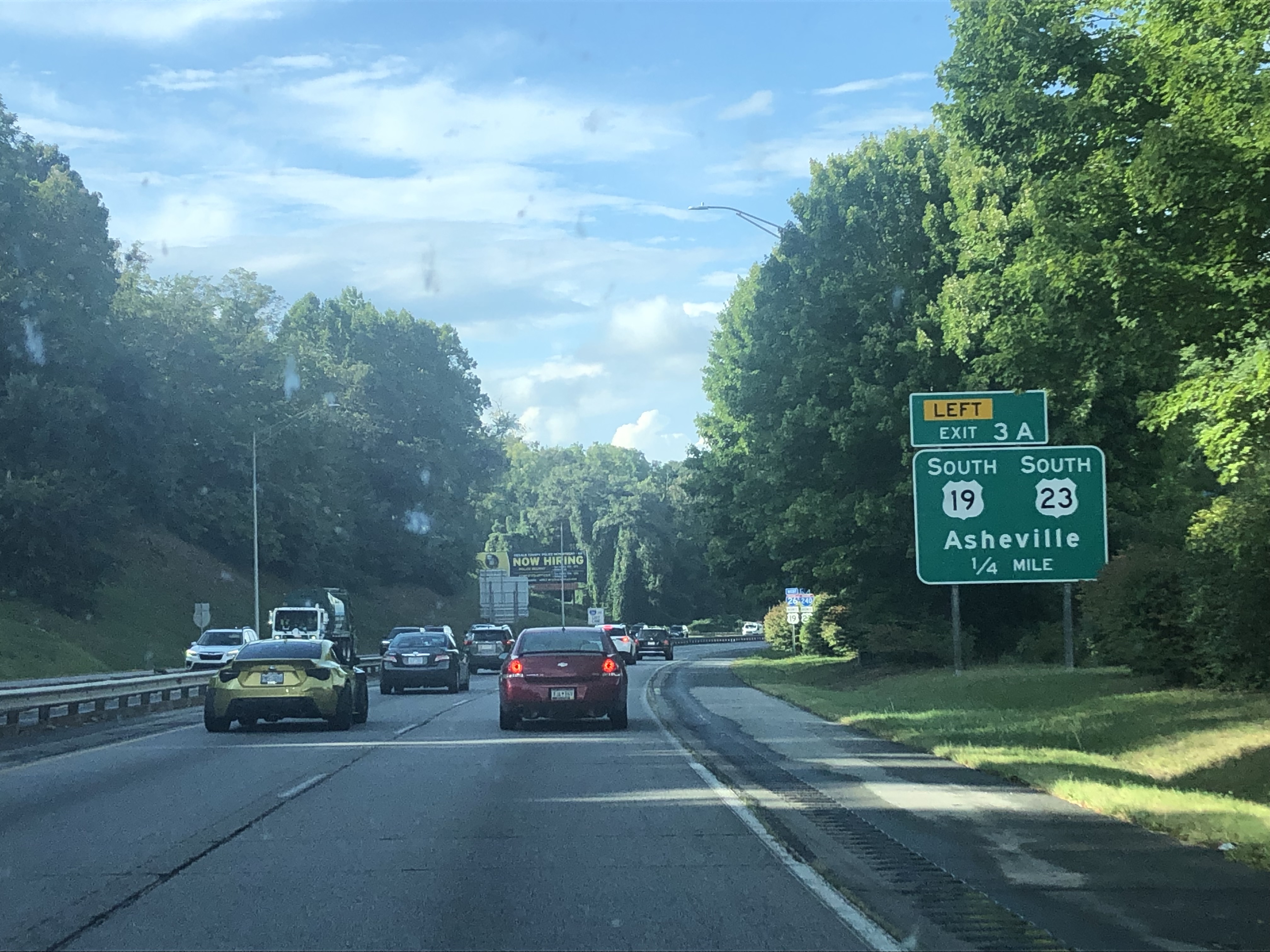
At 5:58 PM, we entered the Asheville city limits, right before passing through the NC-191 exit. The next minute, I got a picture of an exit sign for US 19 Business/US 23, making my lowest route number without a picture continue to climb, this time going from 19 to 31. At 6:00 PM, we reached US 19 Mainline, and continued west/east/north on I-26/I-240/US 19 North/US 23 North towards Downtown Asheville.


We reached the bridge, with downtown infront of us as I took two pictures, both of which are in the Round of 64 in my 2023 Photo Bracket. In Downtown Asheville, we merged to stay on West (Future) I-26, heading north away from downtown.


At 6:03 PM, we passed by the NC-251 exit, followed by the Elk Mountain Road exit shortly after that. We continued to head north, slowly approaching more mountains before picking up US 25 at Exit 23, at 6:05 PM. From here, we passed Exit 21 at 6:07 PM, before reaching Exit 19 for US 25/US 70 at 6:08 PM.


We continued (north)west, passing by NC-197 at 6:12 PM as more mountains came into view. At 6:14 PM, we went by Exit 13, just before entering Madison County (NC). We passed NC-213 at 6:16 PM, followed by Exit 9 (US 19 North/US 23A North) a minute later as we entered the mountains.


On the mountains, I took some amazing photos, with some of those being some of the best photos I've taken in my career up to that point. At 6:22 PM, we passed through Buckner Gap, which became the highest point I've ever been at 3,370 feet above sea level. A minute later, we took Exit 3 to US 23A. We took the exit so we could get a little break before entering Tennessee, and we stopped at a little store on US 23A.


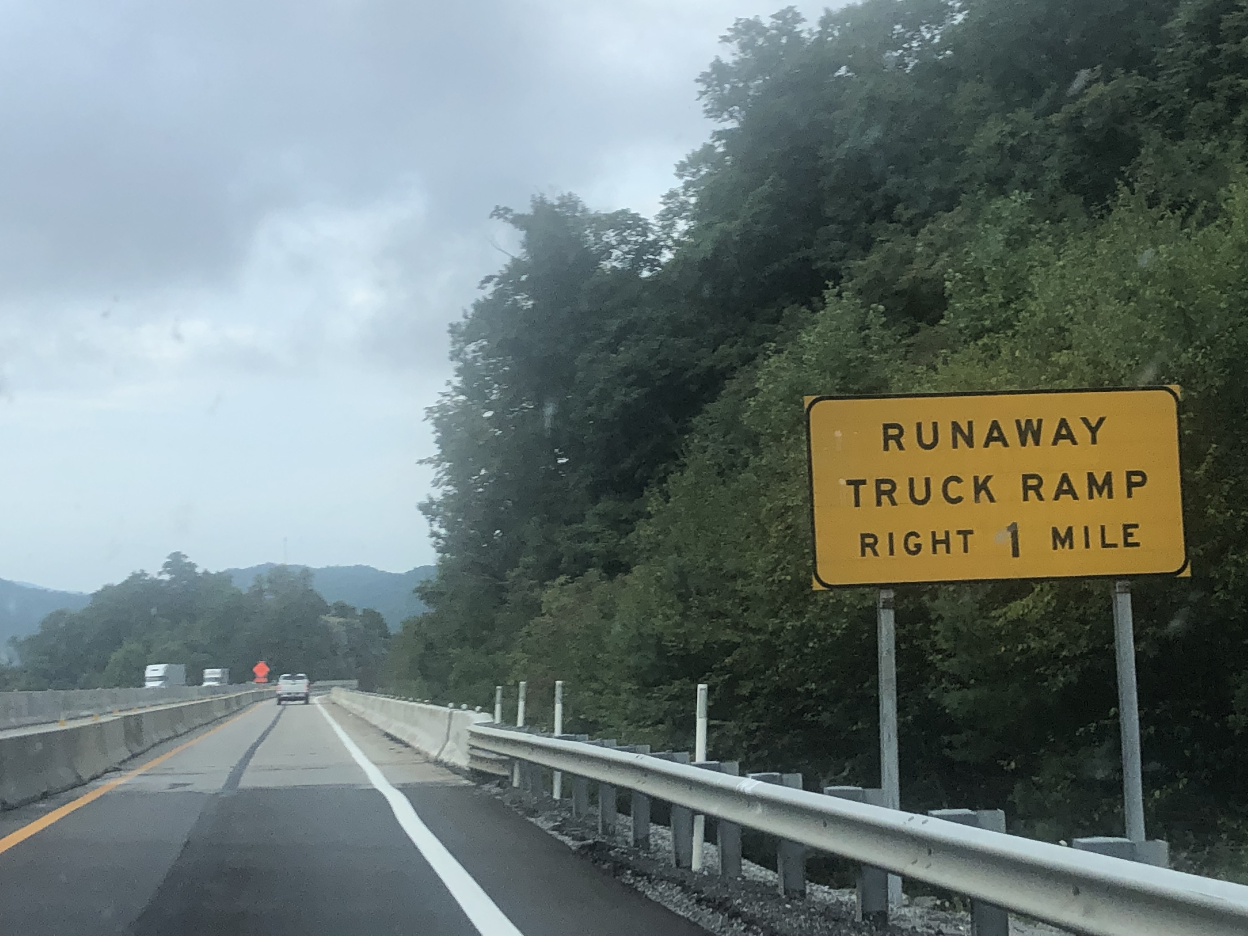
This break would be the 2nd shortest of the ones I took on this trip, as we got back on the road at 6:31 PM, lasting only 7 minutes at the stop. We merged back onto I-26, before finally entering the State of Tennessee at 6:35 PM. We began to descend down the mountains, passing the scenic overlook at 6:42 PM, and taking the exit ramp to the Welcome Center a minute after that. At 6:44 PM, we reached the Tennessee Welcome Center to get an even longer break.


The Trip - Part Five
The stop might've been longer than the US 23A one, but it only lasted 15 minutes before we got back onto I-26 to continue going through Tennessee. We crossed Lower Higgins Creek at 7:03 PM, right before passing by US 19W/TN-352 the next minute. We completed our mountain descent at 7:07 PM, before passing by Exit 40 as we passed by Erwin.


At 7:10 PM, we passed the TN-81/TN-107 exit, continuing north/west on I-26 before going through Exit 36 for Erwin's Main Street. Right after this, we saw a huge raincloud that we were approaching (that looked like a rainwrapped tornado). At 7:13 PM, we passed Exit 34 with the tornado-looking cloud and rainstorm in view as we continued approaching them.


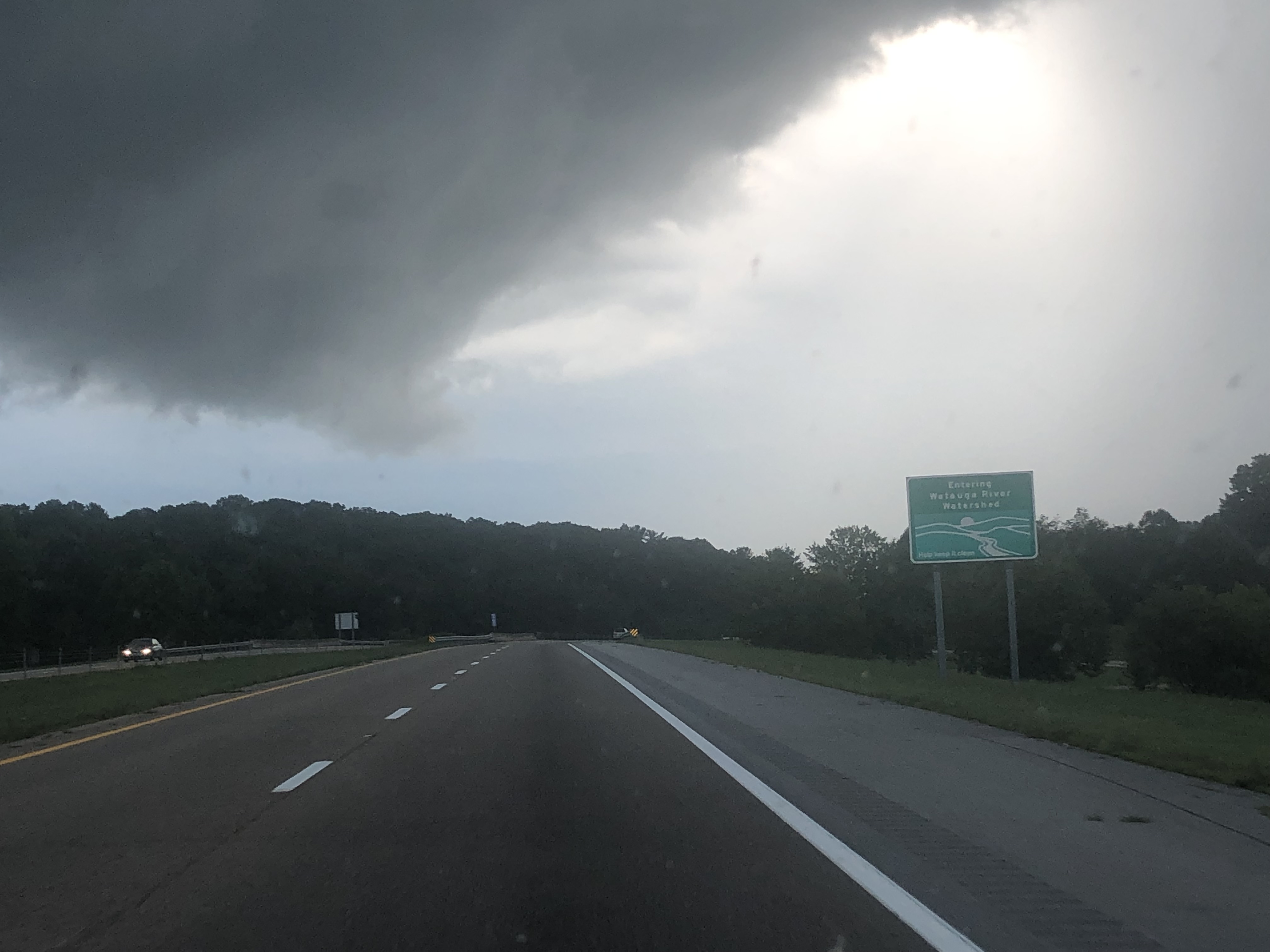
We reached the clouds at 7:15 PM as it began raining a little, which was rather short lived as we were out of it by 7:18 PM when we entered Carter County. Right after entering the county, we passed by TN-359 as we approached Johnson City.


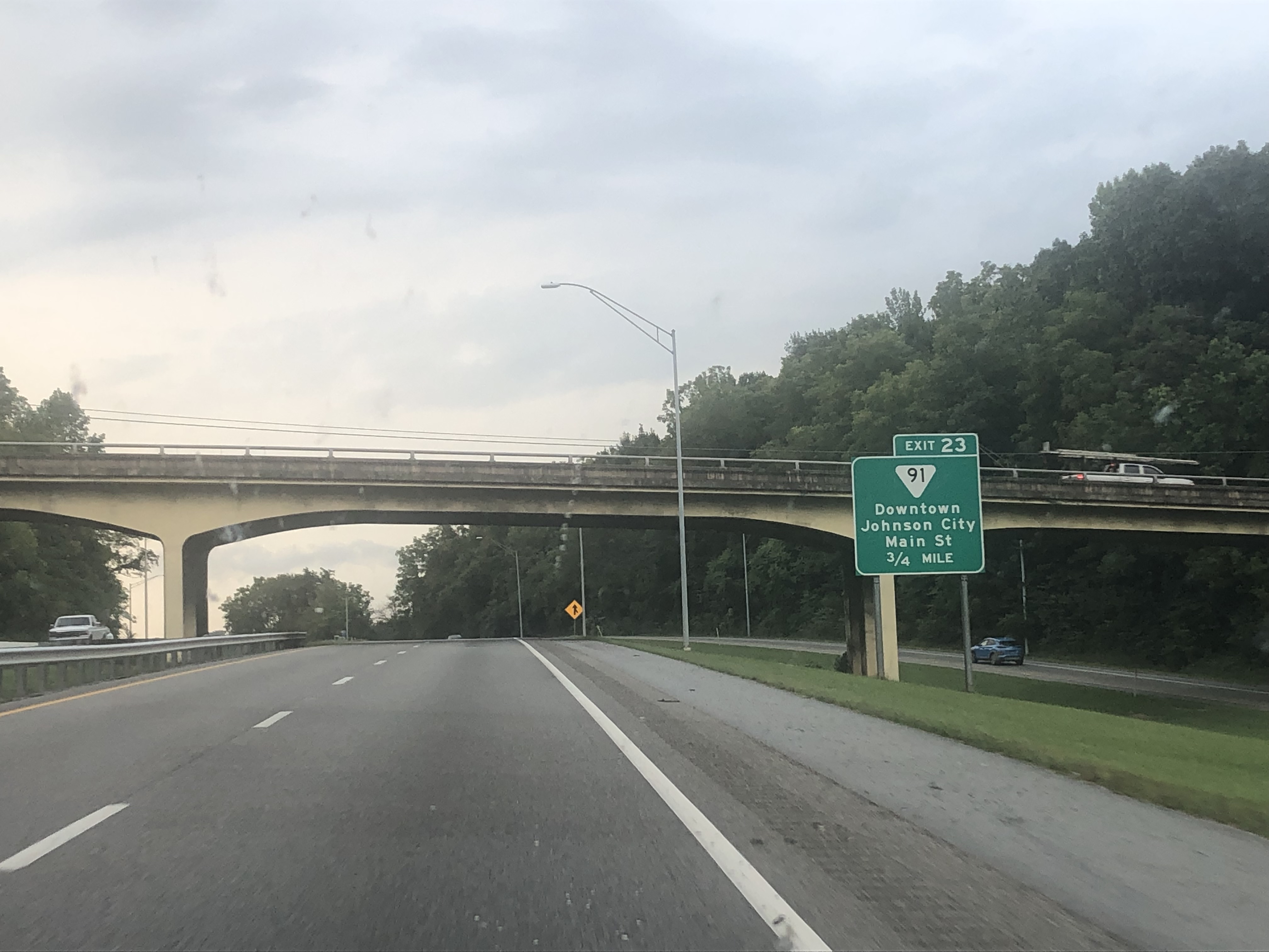
At 7:21 PM, we entered Washington County, before crossing US 321/TN-67 less than a minute later. We continued through parts of Johnson City, passing TN-91 as we headed for the sunset. At 7:23 PM, we passed TN-400, before passing through the interchange with US 11E/US 19W at 7:25 PM. The next minute, we passed by the TN-381 exit, followed by TN-354 at 7:28 PM. We finally approached I-81 at 7:35 PM, merging northbound towards Bristol, where I took two of my favorite photos on the exit ramp.


At 7:38 PM, we crossed the Holston River, before passing by TN-357 at 7:41 PM. Three minutes after that, we went by the TN-126 exit, followed by TN-394 at 7:46 PM. We entered another rain storm at 7:50 PM, which lasted longer than any of the other rainstorms we went through on the trip. That next minute, we went through the US 11W interchange, right before the rain miraculously cleared up just before we entered our home state of Virginia. Since the rain stopped, I got a good picture of the welcome sign without any rain.


After entering our home state, we took the exit ramp to the Welcome Center for the 4th state in a row, but the building was closed, so I got a couple pictures of the welcome sign they had, plus the "LOVE" sign next to it. This would truly be the shortest stop we took, lasting just 4 minutes.


The Trip - Part Six
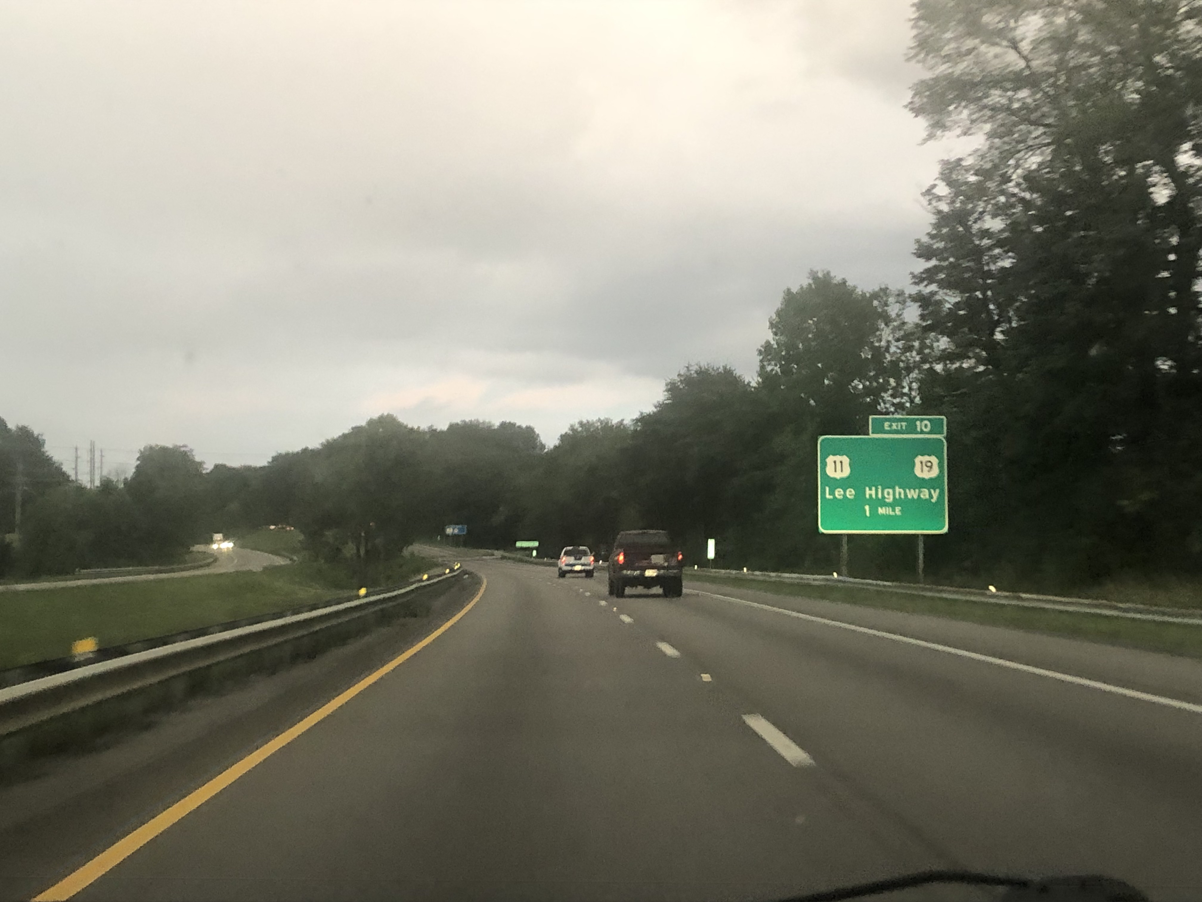
We got back on I-81 at 7:58 PM, just right before going through the US 58/US 421 exit. At 8:01 PM, we passed the north end of the very short I-381 which serves the City of Bristol, as we continued north/east on I-81/US 58. The next minute, we passed US 11/US 19, followed by Old Airport Road the minute after that.


At 8:04 PM, we entered Washington County (VA), before re-meeting US 11/US 19 as it began to rain again. The rain was short-lived as well, being gone when we crossed SR-611 at 8:08 PM. Two minutes later, we passed VA-140, followed by US 58 Alternate/VA-75 the next minute. At 8:13 PM, we passed Exit 19 for US 11/US 58 East, continuing on I-81 North.


By the time we got to Exit 26, it was getting dark outside, with lots of my new photos being blurry, but I still continued taking them using my trick I found the day prior. At 8:21 PM, we passed VA-91, followed by US 11 two minutes after that. At 8:25 PM, we entered Smyth County, passing Exit 35 the next minute. We passed another exit for US 11 at 8:29 PM, before entering a short construction zone. At 8:31 PM, we left the construction zone, before passing yet another US 11 exit for Marion.


Shortly after, it began getting darker, faster, but of course, I continued taking pictures. At 8:46 PM, we passed the exit for VA-90, before passing US 11 again at 8:52 PM. We finally reached I-77 at Wytheville at 8:56 PM, continuing on the wrong-way concurrency. At 8:58 PM, I got a picture of the wrong-way mix-up of I-81/I-77 and US 11/US 52. At 9:03 PM, we reached the end of the concurrency, and we continued north on I-81 towards Roanoke.


At 9:05 PM, we passed SR-619, before entering Pulaski County and leaving Wythe County. At 9:10 PM, we passed through the interchange with VA-100 and US 11. Four minutes later, we passed through the VA-99 interchange, still heading north towards Roanoke.


Eventually, at 9:30 PM, we passed through the VA-8 exit, followed by the US 11/US 460 exit at 9:32 PM. After this exit, we began to approach Roanoke, passing a Rest Area at 9:42 PM. Ten minutes later, we passed the VA-311 exit, followed by the VA-419 exit at 9:54 PM. We continued northeast on I-81 before reaching the interchange with I-581, where we stayed on I-81 North towards Lexington.


At 9:58 PM, we passed the VA-115 exit, followed by the US 11/US 220 interchange at 10:02 PM. We crossed the James River at 10:14 PM, and eventually passed the US 11 Natural Bridge exits at 10:22 PM and 10:25 PM. From here, we continued north, going through the US 60 interchange at 10:32 PM, before reaching the southern interchange with I-64 at 10:34 PM. We continued north/east on I-81/I-64 past Lexington, heading towards Staunton, before we eventually took the SR-606 exit at 10:45 PM for one last stop on the trip.


The Trip - Part Seven
We didn't leave the stop until 11:24 PM, where we went right back onto the interstates for the home stretch. At 11:30 PM, we passed the US 11/TO US 340 exit for Greenville, as we continued on I-64/I-81. Five minutes later, we passed the south end of VA-262, before reaching the northern I-81/I-64 interchange at 11:37 PM.


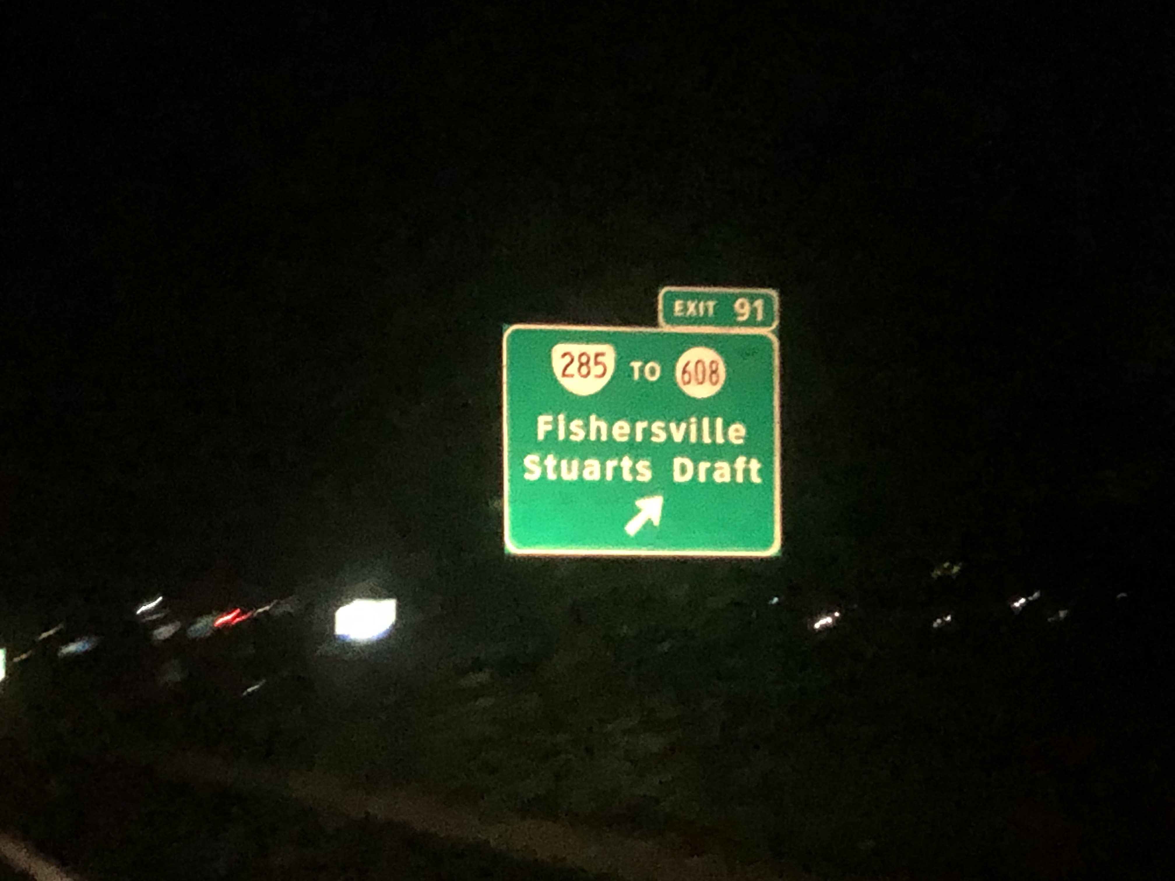
I merged east onto I-64 towards Waynesboro, passing the VA-285 exit at 11:40 PM, followed by US 340 at 11:43 PM. From here, I still continued east on I-64 to climb over the Blue Ridge Mountains. I got to Rockfish Gap at 11:47 PM, passing the US 250 exit before finally entering Albemarle County at 11:49 PM.


We descended down the mountains, passing the Rest Area at 11:52 PM. The next minute, we passed through the US 250 exit for Crozet, as we still headed east through Albemarle County on I-64. At 11:57 PM, I took my 1,985th and final photo of what is the biggest road trip of my life, near the beginning of the exit lane for the SR-637 exit.


Sometime after I stopped taking photos, I fell asleep in the passenger seat, waking up at around 12:20 AM the next day somewhere in southern Albemarle County. We would eventually get back to my travel buddy's house around 12:30 AM on August 29th, marking the end of the biggest road trip I've ever been on.
After:
The next day (or August 29th, same day I got home), I went on a mini-trip from my travel buddy's house back to mine, where I decided not to take any pictures.
This trip obviously would break plenty of records, including 'biggest road trip I've ever been on' and 'most photos taken in a single trip'. If we hadn't made that final stop, I likely would've made it to 2,000 photos on the trip due to not deciding to stop due to midnight approaching. To this day, I've never taken more than 1,400 photos in a single trip since this.
As of 8/28/24, this would be my most recent time in Georgia and Tennessee, plus my most recent time south of Orangeburg, SC. I also wouldn't enter the Carolinas until June 10, 2024.


